History
Summary
Full version
Proposal
Comments p1
G. Kemp
Letters
Names-Places
<<< Prev Alan Harding - Comments on the building works Next >>>
Alan Harding was the Rushmoor Borough Council (RBC) project officer for the park when it was built.
- Most of the huge clay pit was filled by tipping of debris from building and civil engineering works (carried out by or for Rushmoor Borough Council), and road sweepings. There was also a considerable amount of illegal dumping (fly–tipping), which may have been condoned in order to hasten the filling[1]. The filled area was, for some time used as a Council store yard for unwanted materials.
From the start the Country Park was planned as a natural but managed piece of wild countryside.
The water source was ground water, discharging from a pipe outlet into a ditch that runs down the west side of the park[2] pipe. This pipe outlet is believed to be from a gathering of land drains and spring water in the area of dwellings known as the "Crown Estate", and which was formerly farm land[3].
A pipeline was laid from the north east corner of the park to the north east corner of the pond and was connected to the pipe outlet (3. above). This diverted virtually all of the water from the Northern end of the ditch to the pond, leaving the ditch virtually dry. A very large oil interceptor (separating chamber) was incorporated in this new pipeline to ensure the "health" of the pond, pond life and water plants. At the point where this new pipe discharged into the pond a substantial head wall, with scour apron was constructed.
At the south-west end of the pond, an outfall head wall was built and a new pipeline laid to carry the pond "overflow" west to connect with an existing large drain. The ditch, mentioned above, discharges through debris grilles, into this same existing large pipe which then runs south with the cart track (Frog Lane) and eventually to the Blackwater River. The debris grilles were repaired and improved at about the time of the creation of the park, perhaps earlier. In winter, the ditch carries spring water through the grilles and into the existing large pipe. The spring water emerges[4] at the south–east corner of the Highfield Gardens properties.
-
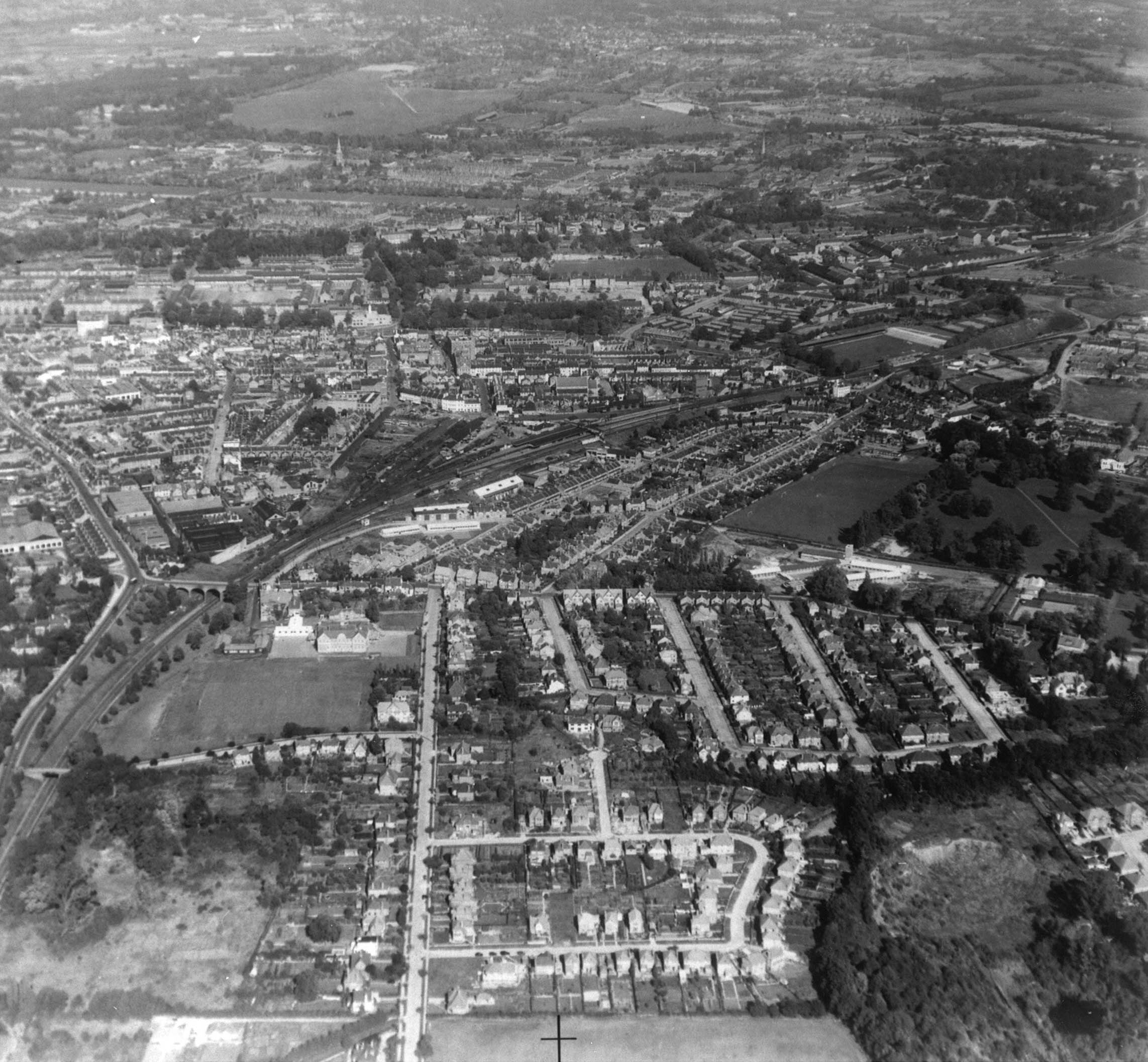
At one of our Fundays we quite by chance had a conversation with a gentleman who drove the bulldozer moving materials on site. It would appear that a lot of the dumped material tipped into the clay diggings crater was from the entrance at the end of Evelyn Avenue. Builders rubble, concrete, soil, sand, gravel, bricks and road grit was all tipped in in large loads. Several times a year a bulldozer was brought in from the Farnborough council yard and the tipped rubbish was compacted and levelled off. Before this process started the remains of the clay diggings literally looked like a very large bomb crater. (Bottom right corner of the image at right, courtesy of – www.http://historyofaldershot.co.uk) [top]
The ground water which originally discharged into the Highfield Gardens ditch from a pipe, note 3 above, is the main surface water drainage 15" main from the Crown Estate and Croft Lane roads. The ditch does still flow occasionally when we have had a period of heavy rain and the remains of the ditch, both the upper and lower sections, still provide some drainage for the gardens of properties in Highfield Gardens, although the middle section has largely been filled in by the property owners. This water source scheme, whilst originally seen as a convenient source of water for the pond, has over the intervening years possibly not turned out to be as good as originally thought. Comprised of surface drainage from a large area of roads on the Crown Estate there is a lot of road debris, tyre rubber and various associated automotive chemicals in the water. This appears to now be the source of the gradual decline of the pond and its wildlife over the years. [back] [top]
The Crown Estate referred to was essentially "farm land" before the early to middle 1800s, this land then became a large brickworks, clay digging and marl pit. Only in around 1900 did the Crown Estate proper come into being with the construction of the Upper St. Michaels, Northbrook, Southmead, Brockenhurst and Avondale roads. The estate was then gradually populated with housing over a 70 year period from around 1900 right through until the late 1970s. [back] [top]
We wonder if this spring water and pond outfall ever did actually "emerge" or come to the surface here. The existing large drain, marked on 1935 maps, can be traced from Croft Lane and the Crown estate down Frog Lane to a point just behind the Brickfields Country Park car park, and at times the water flow can be heard trickling under the manhole covers. Information that came to light in 2016 shows that our drain intercepts the main roads drainage system in Boxalls Lane which is then diverted under #43 Boxalls Lane into Badshot Lea little pond, into the smaller of the two Badshot Lea ponds, from here it discharges into the Blackwater River. The route of the original 15" main between the new diversion to the pond, and its new outfall rejoining the ditch at the top of the lane is unknown, but is presumed to follow the woodland pathway beside Highfield Gardens.[back] [top]
Site design ©1999– Brickfields Country Park - Privacy -